

Nepal /
Day 17: Side hike to Gokyo Ri

Early start from Dzongla to avoid the strong winds on the pass and stones falling from the cliffs. Just above the cloud level.

The beginning is fairly easy.


So where are we going exactly?

Soon enough the slope steepens and becomes increasingly more challenging.


Time for a short stop after all that scrambling.

Our "Sabbath" friends decide to celebrate Israel's 70th Independence Day here.


While we are just goofing around.

Move along, nothing to see here.


Anyway, time to move on.
The path first goes on the left high above the Cho La Glacier...


...then descends to the snow-covered moraine. Walking on snow is magical!


It is the last push now - we are almost there.


We made it!

A happy, self-fulfilled trekker.
B-b-but... there is still an "up" to go?!

Nice try, Cho La.
We're good right here.

Panorama from Cho La.

Descending west side of snow-covered Cho La Pass without crampons or microspikes can be somewhat tricky, but lots of fun at the same time.

Tailbone-breaking fun.
Just watch for your tailbone!
Down amidst usual boulders.


Just don't tumble down.
Until the path becomes path again.

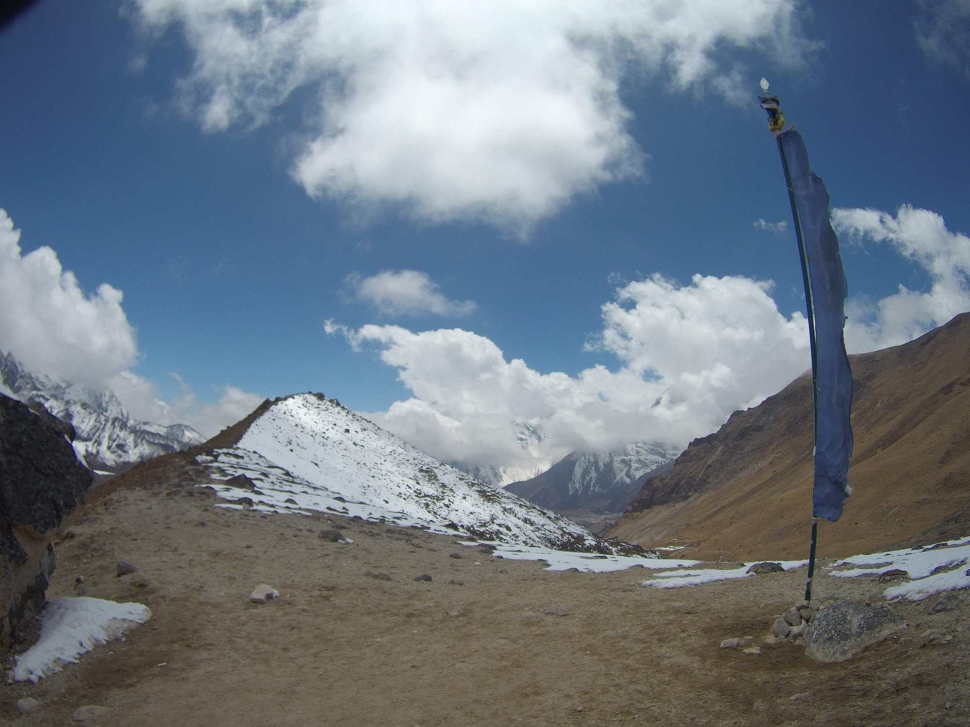
One more climb to another small pass with a flag on top, then it's all down to Thagnak.


We are not far from Gokyo now - not even 4 km - but the route crosses Ngozumba Glacier, and, remembering how our previous after-the-pass glacier crossing looked and felt like, we decide to stop here for the night.


Just a short hike to the morraine to have a look at what we will be going through tomorrow.


Made some new friends on the way back.


