

Boarding first morning Yeti plane to Lukla.


Lukla
They say Lukla is one of the most dangerous airports in the world.

I can't see why.
We have already walked 100 meters, and climbed perhaps 5. A rest is necessary.
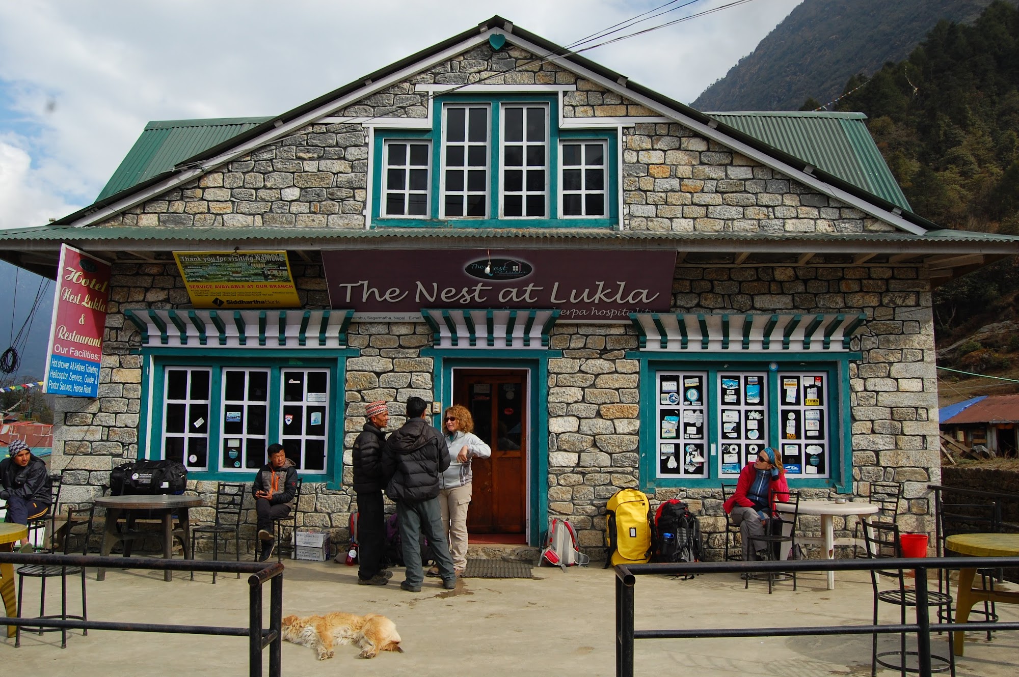
Lukla is busy with trekking life.

First checkpoint on the route.

National Luminary Pasang Lhamu Memorial Gate.
Pasang Lhamu Sherpa was the first Nepalese woman to climb the summit of Mount Everest.*

Buddhist mani wall on route to Chheplung and Rangdo Gompa, rock wall monastery.

Can you spot it?
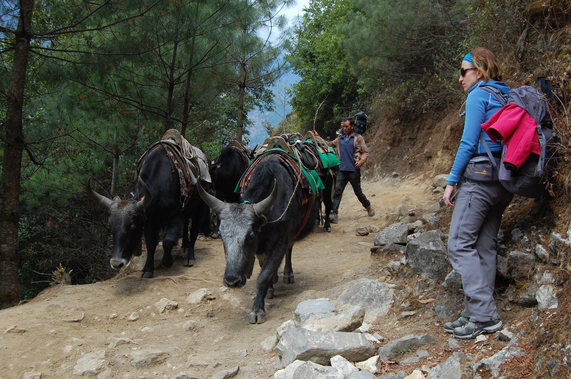
Always yield to yaks.
Mudslide Bridge over Thado Koshi Khola in Nurning Ghat is at an altitude of about 2,565 m, making it the lowest point of the entire trek.

Waiting for the green light.
A prayer wheel with mantras in Chheplung.

Mani walls in Chheplung.


Typical Wednesday traffic.

Stupa and prayer flags in Nurning (Yulning) village.

Suspension bridge over Dudh Koshi in Phakding.

A little native.

Like on a highway.

Sakura?

Suspension bridge over Dudh Koshi above Benkar.

Luxury.

Traffic jam in front of our Hotel Mini Tibet in Monjo.

Interactive Lukla Airport panorama
